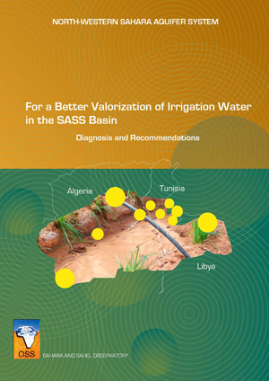
Tunisia

Alegria, Egypt, Libya, Jordan, Morocco, Mauritania et Tunisia | Atlas of Land Cover Map

This Atlas includes land cover maps of Algeria, Egypt, Jordan, Morocco, and Tunisia. It is intended to decision-makers, development partners and the general public. 
Through some fifty maps and a brief multi-thematic explanation, this Atlas aspires to highlight the linkages between ecosystem services and populations livelihoods in desert areas and their potentialities.

The reader will also find illustrations about the major ecosystems of the project area and their role in transboundary cooperation and socio-economic development to address global changes.

North Western Sahara Aquifer System: Data Base and GIS, volume III

Serving as a driving and facilitating force, OSS, in carrying out the SASS Programme, relies first and foremost on the expertise available in specialised, well experienced institutions of the three countries as well as on broad international partnership. The North-Western Sahara Aquifer System, (NWSAS), shared by Algeria, Tunisia and Libya, has considerable water reserves that cannot be totally exploited and are only very partially renewed. The NWSAS area over a million km2 and is composed of two major aquifers layers, the Continental Intercalary and the Terminal Complex.