Project Duration
November2011 – April 2015
Financial and Technical Partners
The AGRICAB project is funded by the European Union to the tune of 126 000 €.
The project was implemented in partnership with VITO (Belgium), ILRI, University of Liège, RCMRD (Kenya), ITC, Instituto Nacional de Meteorologia (Mozambique), Consorzio ITA (Italy), AGRHYMET, CSE, Alterra (Netherlands), Department of Resource Surveys and Remote Sensing (Kenya), Universidado Eduardo Mondlane (Mozambique), CSIR (South Africa), GEOSAS (Ethiopia), INPE (Bresil), DEIMOS (Spain).
Main Beneficiaries
North Africa, South Africa, Kenya, Mozambique, Niger and Senegal.
Objective
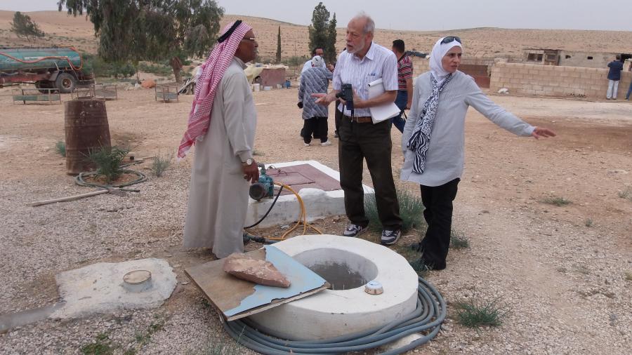
The AGRICAB project aims to strengthen African capacities in Earth Observation based on GEONETCast data, connecting satellite data and predictive models for agriculture and forestry management. OSS responsibility within this framework is to pursue studies initiated by the SASS project for estimating water abstraction.
Project Status
Closed
Achievements
1- Cartography
- Land cover maps at the scale of 1/25.000 based on satellite images of high spatial resolution of the three pilot zones (Tougourt, Medenine and Tripoli).
- Spatio-temporal maps of vegetation cover in the SASS zone based on temporal series of vegetation indices (Mod13Q1) from 2004 to 2014. This has allowed to map, at a small scale, the irrigated areas in the SASS basin, to track their evolution and to understand agricultural expansion dynamics.
2- Estimation of water withdrawals using remote sensing
This activity was conducted as a part of a dissertation for the application of a global model for water abstraction.
3- Capacity Building
- Organization of the first AGRICAB regional workshop on water abstraction estimation in October 2013 bringing together 25 engineers (Open Tools and Data for Water Resources Abstraction and Recharge Assessment).
- Organization of the second AGRICAB regional workshop on irrigated agriculture with a particular focus on land cover mapping based on low, medium and high resolution spatial images. The workshop was attended by 20 engineers.
4- GEONETCast
- An EO data reception station was installed at OSS.
- An information note on GEONETCast data was published and a related survey was launched with the African remote sensing communities for a better adaptation of products to the needs in terms of spatial observation.
- A first case study was conducted on vegetation anomalies in the OSS zone of action based on data received from the GEONETCast station and temporal series provided by VITO, an independent organization focusing on research and technologies in the fields of clean technologies and sustainable development. (http://rs.vito.be/africa. https://esites.vito.be/sites/AGRICAB).