

Approval Date
June 2013, signature of Grant Agreement: 15 October 2013
Project Duration
6 years (2013 – 2019)
Financial & Technical Partners
World Bank through a grant from the Global Environment Facility (GEF)
Country of operations
Benin, Burkina Faso, Chad, Ethiopia, Ghana, Mali, Mauritania, Niger, Nigeria, Senegal, Sudan and Togo
Main Beneficiaries
- The implementing institutions of the national projects of the (SAWAP),
- The three executing entities of the BRICKS project: the Sahara and Sahel Observatory (OSS), the Interstate Committee for Drought Control in Sahel (CILSS), and the International Union for Conservation of Nature (IUCN), and their partners.
Objective
Improve access to the best monitoring practices and information of the Sahel and West Africa Program (SAWAP) for an integrated management of natural resources, climate change and natural hazards in the concerned countries.
Project Status
Closed
Expected Outcomes
OSS is responsible for the monitoring of the SAWAP and the geo-spatial services. The main expected results obtained in this framework are:
- Accompany 12 national SAWAP projects to achieve their objectives and facilitate the identification of innovations at the regional and global levels and their promotion through communication, efficient knowledge management and monitoring-evaluation;
- Ensure access to information on sustainable land and water resources management and promote experiences and good practices sharing;
- New monitoring tools and capacity building activities for monitoring the SAWAP projects procedures and impacts are developed at the regional and national levels; and
- The SAWAP portfolio is regularly monitored through a series of thematic and process indicators.
Achievements
1. Design and development of a monitoring and evaluation system for the SAWAP
- Identification and validation of regional indicators
- Development of a web tool for the monitoring of the SAWAP indicators
2. Development of an online Geo-portal on Sustainable Land and Water resources Management (SLWM)
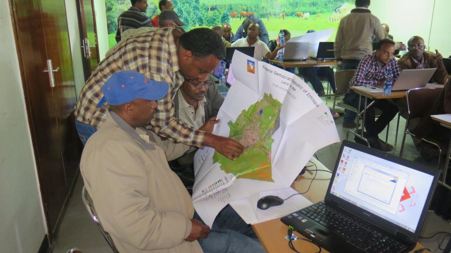
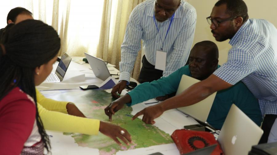
3. Elaboration of 12 country Geographical Information Systems (GIS):
- Data collection and processing, spatial indicators selection, values validation, user guide, and application on flash drive ;
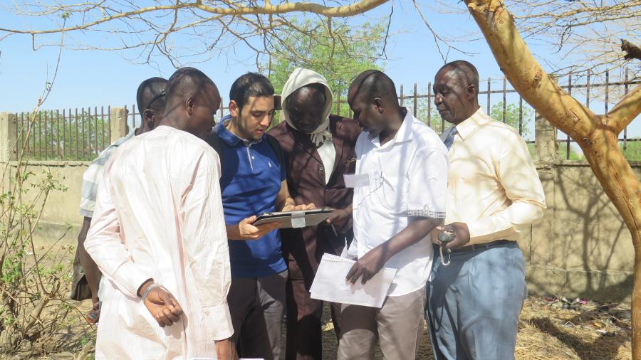
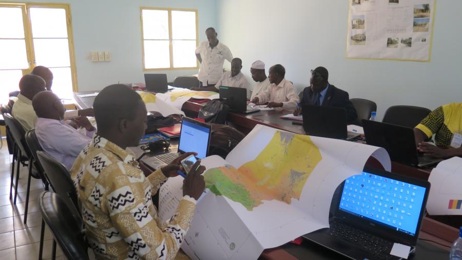
- Development of a training kit on spatial monitoring tools and technologies and capacity building for more than 200 technicians and experts at the regional and national levels;
- Carbon sequestration modelling and land cover mapping in the SAWAP zone of action
- Land use mapping of the SAWAP zone
- Bi-annual reports on the SAWAP implementation progress.
4. Publication of a regional atlas on land cover maps of the Sahel and West Africa region.