Approval Date
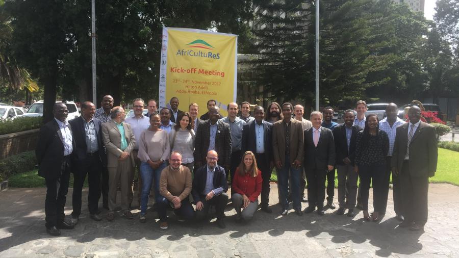
November 2017
Project Duration
4 years
Project Status
Ongoing
Financial & Technical Partners
Financial partners
European Commission (H2020)
Technical partners:
A consortium composed of 17 partners
- GMV Aerospace and Defence S.A.U. (ES) - leader
- Aristotle University of Thessaloniki (GR)
- Centre for Remote Sensing and GIS, Univ of Ghana (GH)
- AGRHYMET Regional Center (NE)
- DRAXIS Environmental S.A. (GR)
- Euardo Mondlane University (MZ)
- GeoSAS (ET)
- HCP International (NL)
- LocateIT (KE)
- Scuola di Ingegneria Aerospaziale. Sapienza University of Rome (IT)
- South African National Space Agency (ZA)
- Swedish Meteorological and Hydrological Institute (SE)
- University of Cantabria, Meteorology Group (ES)
- University of Leeds (UK)
- University of Sheffield (UK)
- Centre for GIS and Remote Sensing, Univ. of Rwanda (RW)
- Sahara and Sahel Observatory
Role of OSS
As coordinator for the North Africa region, the OSS is responsible for providing products and services for the implementation of an integrated agricultural monitoring andearly warning system, supporting decision-making in the field of food safety, through the application of remote sensing technology.
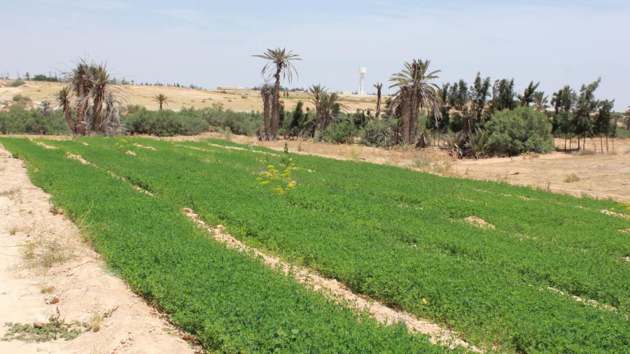
In the first step of the project, 8 pilot areas across Africa have been defined to calibrate the crop models. For north Africa, the pilot sites are located in Tunisia.
Country of operations
Pilot zones in Ethiopia, Ghana, Kenya, Mozambique, Niger, Rwanda, South Africa and Tunisia
Main Beneficiaries
Decision-makers and natural resources/agriculture managers
Objective
The project aims to provide decision makers with tools to address food security challenges in Africa with more operational capacities. More precisely, the AfriCultuReS project will allow to:
- Improve crop monitoring and forecasting methods in Africa;
- Diminish the current bias and errors found the zone maps and yields forecasting;
- Share the European Commission’s knowledge in terms of agricultural observation/monitoring services with African specialists;
- Operationalize new monitoring /forecasting methodologies in Africa;
- Provide a platform capable of analyzing and integrating the information produced by the different sectors in order to evaluate and analyze food production;
- Anticipate future threats related to climate change and propose sustainable adaptation measures for copping systems and livestock breeding;
- Provide African decision makers with information and good practices related to food security for a better decision making;
- Strengthen capacities and increase the awareness of the decision makers concerned with food security in Africa through Earth Observation data and techniques;
Main Achievements
- Information and involvement of the Tunisian national institutions of reference: dynamic contacts with up to 7 Tunisian national institutions partners, with regular technical and organizational
- Definition of project’s pilot sites in Tunisia throught technical discussion meetings to determine the potential pilot areas in the country, as well as the areas the main crop types to be considered (Jendouba, Kebili, Tozeur, Bizerte, Kairouan, Nabeul & Medenine)
- Elaboration of national studies related to remote sensing, crop mapping and agricultural monitoring regarding Tunisian national context
- Elaboration of a land use map of Tunisia (2019)
- Fieldworks at national level in pilot sites in Tunisia conducted on 3 main sites, to collect data and information on the current 2019 agricultural campaign (Jendouba (in February 2019), Tozeur & Kébili (in April 2019)
- Synergy with other regional initiatives in Africa: the GMES & Africa’s project in achieving some activities in close collaboration :fieldworks, mapping activities and elaboration of methodologies for crop yields estimate
- Publication and dissemination of activities in Tunisia among the main partners and stakeholders in Tunisia, including both public and private sector
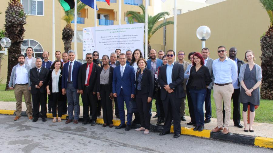
- Organization of a Workshop on remote sensing for food security decision-making in Africa: Tunis, 29-30 October 2019
- Organization of a Tele-training on operational modeling of wheat growth and its yield estimate organized in synergy with GMES-Africa project, and in partnership with the CNCT (National Center for Mapping and Remote Sensing) - ONAGRI (National Observatory of Agriculture) and INRGREF (National Institute for Research in Rural Engineering, Water and Forests), 20 to 22 April 2020