Burkina Faso

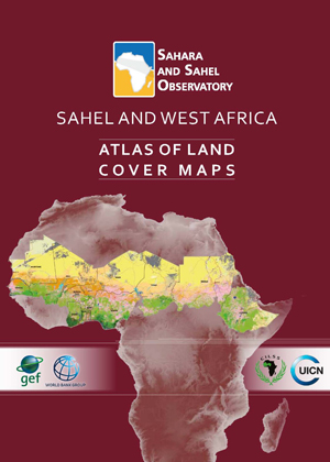
Sahel and West Africa | Atlas of Land Cover Maps

This regional atlas of land cover maps is meant to serve as a planning and decision-making tool in support of the Great Green Wall Initiative. It is intended for decision makers, development partners and the public audience. It was designed on the basis of satellite data of 30 meters resolution and covering 12 countries concerned by the Sahel and West Africa program - SAWAp (Benin, Burkina Faso, Chad, Ethiopia, Ghana, Mali, Mauritania, Niger, Nigeria, Senegal, Sudan, and Togo).

Joint and Integrated Water Resources Management of the Iullemeden -Taoudeni/ Tanezrouft Aquifer Systems and the Niger River | Summary report

Surface and ground waters are a strategic asset for the West Africa sub-region and play a decisive role in the economic and social development in the countries of the region. Further studies should be conducted on the Iullemeden and Taoudeni/Tanezrouft Aquifer Systems (ITTAS) and how they function in order to support the development efforts of the ITTAS countries. Greater knowledge of the hydrological connection between the aquifer systems and the Niger River is a prerequisite to improving the management of the systems’ surface and groundwater resources.

Mobilizing the Iullemeden - Taoudeni/TanezrouftGroundwater Resources A part of the solution? | Achieving the Sustainable Development Goals in the Sahel Countries

The groundwater resource of the Iullemeden-Taoudeni Tanezrouft Aquifer System shared by 7 countries (Algeria, Benin, Burkina Faso, Mali, Mauritania, Niger and Nigeria) is increasingly threatened in terms of quantity and quality. The GICRESAIT regional project "Integrated and concerted water resources management of the Iullemeden, Taoudeni/Tanezrouft and Niger River Aquifer Systems" (2010-2016) assessed the potential resources and ensured its monitoring and vulnerability to climate change.

GICRESAIT | Atlas of Water Resources

This atlas is meant to be used by decision-makers, development partners and the general public.
The purpose of the atlas, containing some 30 maps and graphs derived from an OSS regional study on the Iullemeden, Taoudeni/Tanezrouft Aquifer System, is to provide information on the availability and use of water resources in this region of seven countries (Algeria, Benin, Burkina Faso, Mali, Mauritania, Niger and Nigeria).