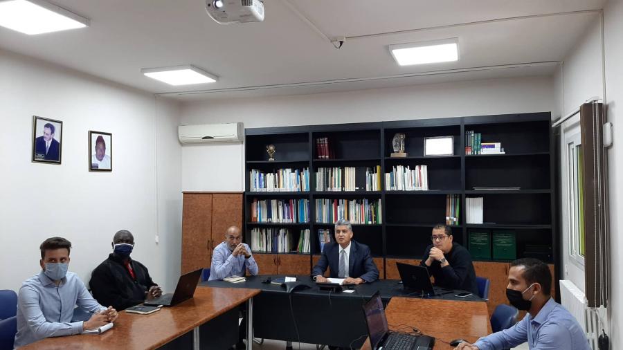
A workshop for the restitution of the first prototypes of geospatial services developed within the framework of the "Support Project for the Sustainable Management of Water & Natural Resources through the Exploitation of Earth Observation Data & Technologies" was organized on November 5, 2020 on the OSS virtual platform.
In addition to the presentation of the first prototypes of Earth-Observation based services, this workshop was an opportunity to collect feedback from partners & establish a roadmap for the further development of these services that aim to support decision-making in the sustainable natural resources management:
Service 1: Water abstraction monitoring in irrigated areas;
Service 2: Land degradation monitoring & evaluation;
Service 3: Seasonal monitoring, early warning & agricultural assessment.
The "Earth Observation for Sustainable Land & Water Management in North Africa" project is coordinated by the OSS, as leader of the North Africa consortium. It is carried out in partnership with the main North African institutions involved in EO promoting & developing: ASAL, DRC, LCRSSS, CRTS, UNA & CNCT for the national level, CRTEAN & CRASTE-LF for the regional level & is part of the GMES & Africa program (cooperation framework for the development & implementation of Earth-Observation based services for sustainable development in Africa.


