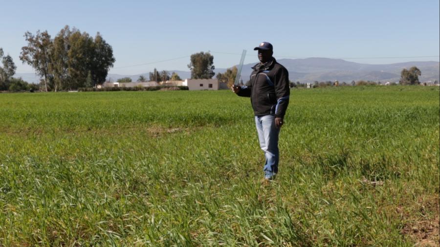
As part of the AfriCultuReS and GMES & Africa OSS & Africa OSS-North Africa projects, an OSS delegation composed of three experts in remote sensing and GIS (Mustapha Mimouni, Mohamed Aziz Belhamra and Louis Evence Zoungrana) organized a field mission to collect data for monitoring and modelling crop growth in Tunisia. The field visit mainly concerned the communes of Bousalem, Jendouba North, Jendouba South and Oued Mliz. This work was carried out in close collaboration with the various stakeholders in the region: owners, managers or resource persons of the cultivation areas. All the data collected will be fed into a geospatial database and integrated into a GIS.
The AfriCultuReS-Enhancing Food Security in AFRIcan AgriCULTUral Systems with the Support of REmote Sensing Project is a research project that aims to design and implement an integrated monitoring and early warning system to support decision-making in agriculture and food security in Africa.
The GMES & Africa OSS-North Africa project entitled "Earth Observation for Sustainable Land and Water Management in North Africa" aims to support decision-making in the field of sustainable natural resource and water management through the provision of products and services based on Earth Observation (EO) data and techniques.
The main mission of these two projects is to develop operational services that best meet the needs of end users and are adapted to the national contexts of the countries involved. One of the services is the establishment of platforms for early warning and efficient decision-making in agriculture at both national and regional levels.
In Tunisia, the AfriCultuReS and GMES & Africa OSS-North Africa projects deal with similar themes. It has therefore proved judicious to create synergies to provide in situ data to calibrate the regional models under development (for the AfriCultuReS project) and to develop the services identified for the GMES & Africa OSS-North Africa project. In addition, these in situ data will provide useful "field truth" information for the validation of the 10 m resolution Land Occupancy Map, currently being prepared by the OSS.


