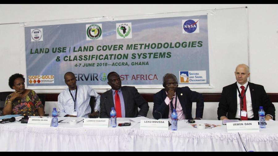
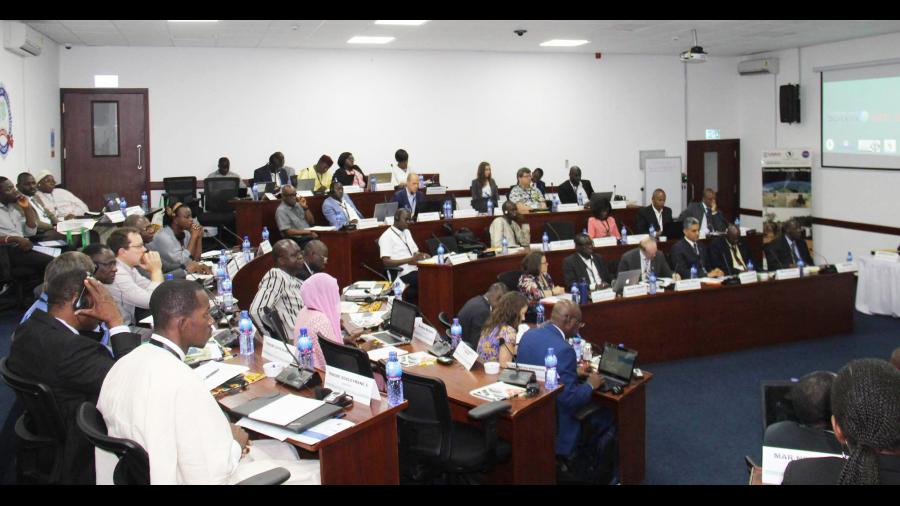
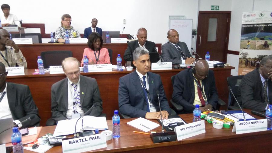
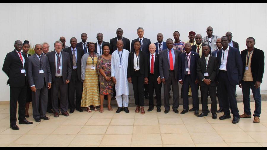
The OSS is co-organizing with the SERVIR-West Africa Program, the International conference on Land Use/Land Cover Map Methodologies and Classification Systems in West Africa to be held in Accra (Ghana), from 4 to June 8, 2018. Participants in this important event are high-level experts from the West Africa region, the United States and Europe, as well as several international organizations.
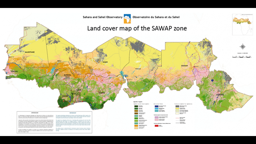
During this conference, OSS and its partners will present the main tools, services and products (regional and national Land Cover/Use maps, vegetation maps, Geoportal, etc.) recently developed as part of the World Bank / GEF Investment program for "Sahel and West Africa - SAWAP", in 12 countries (Benin, Burkina Faso, Chad, Ethiopia, Ghana, Mali, Mauritania, Niger, Nigeria, Senegal, Sudan, and Togo) by the project "Strengthening Resilience through Innovation, Communication and Knowledge Services - BRICKS.(lien vers BRICKS)
In terms of sharing experiences and approaches related to the theme of the conference, OSS and partners will take the opportunity of this conference to ensure greater ownership and validation by the 12 countries of the SAWAP project, generated by the project, which should contribute to the realization of the Great Green Wall Initiative for the Sahara and the Sahel.
As a follow-up to this conference, discussions will be initiated to have an appropriate harmonized classification system for the development of services, in line with regional requirements and specifications that meet the needs of ECOWAS Member States.
SERVIR West Africa is a joint NASA-USAID development initiative that supports developing countries in the exploitation and use of information provided by observation satellites in price processes. of decision. It was launched in July 2014 and is being implemented by AGRHYMET and its partners, in partnership with ECOWAS.
SERVIR West Africa was launched in July 2014 in partnership with ECOWAS. It is a joint NASA-USAID development initiative that supports developing countries in the exploitation and use of information provided by observation satellites in decision-making processes.

