Data on the dynamic of climatic and ecological variability could be of great interest to the monitoring and evaluation of sustainable natural ecosystems management projects and programmes, especially in desert areas.
These data enable M&E experts to evaluate the impacts of field projects by providing elements of information on natural factors that could affect the projects’ outcomes.
Within the framework of the MENA-DELP project, OSS has developed, during the second half of the year 2015, a web application allowing the display and access to a series of data through the visualization of graphics and diagrams describing spatial data and indicators’ evolution over time.
At this stage, a number of temporal series of vegetation and precipitation indexes issuing from earth observation data were processed and integrated in the application. These data include:
- NDVI data (Normalized Difference Vegetation Index): vegetation index calculated based on two instruments: SPOT (1 km spatial resolution and 10 days temporal frequency) and MODIS (250m spatial resolution and 16 days temporal frequency). The temporal series integrated covers, for the time being, the period 2000-2015.
- EVI data (Enhanced Vegetation Index): vegetation index calculated using the MODIS instrument. The temporal series integrated covers, for the time being, the period 2000-2015.
- CHIRPS data (Climate Hazards Group InfraRed Precipitation with Station data): temporal series of precipitation estimated through remote sensing and calibrated based on weather stations measures. The temporal series integrated covers, for the time being, the period 1981-2015.
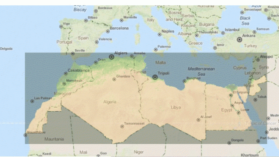
The tool comprises a geographic interface centering on the MENA-DELP programme’s action zone.
In order to ensure the effective use of the tool by the M&E systems of the MENA-DELP national projects and regional project and maintain updated and relevant information, OSS will proceed in a second phase to:
- Regular update of the tool by completing existing temporal series;
- Integration of new and pertinent biophysical variables to M&E activities: temperature, evapotranspiration, humidity, etc. ;
Adding new and more developed functionalities and requests to facilitate data interpretation and processing, notably in assessing difference compared to average.