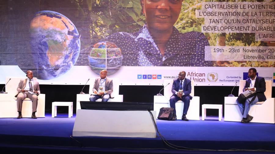
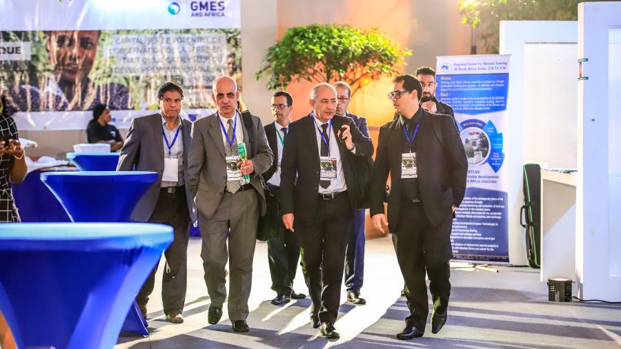
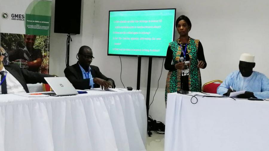
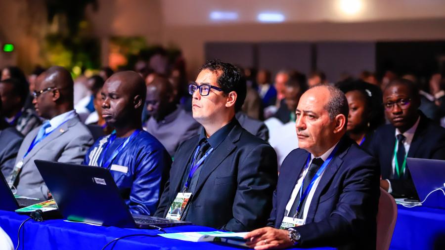
OSS participates to several side events, in which one side event related on training and capacity building to enhance Earth Observation operational services, and set up an information booth to present to the wide public, the GMES North Africa project, and the several services to be developed by the project, in the framework of the GMES & Africa programme.
The Sahara and Sahel Observatory coordinates the “Earth Observation for Sustainable Land and Water Management in North Africa “(EO- SLWM/NA) project, in partnership with key institutions devoted to the promotion and the development of remote sensing, in Algeria, Egypt, Libya, Morocco, Mauritania and Tunisia.
For the national level, namely Algerian Space Agency (ASAL), based in Algiers (ALGERIA), Desert Research Center (DRC), based in Cairo (EGYPT), Libyan Center for Remote Sensing and Space Sciences (LCRSSS), based in Tripoli (LIBYA), Royal Center for Remote Sensing Space (CRTS), based in Rabat (MOROCCO), University of Technology and Medicine Sciences (USTM), Nouakchott, MAURITANIA and the National Center for Cartography and Remote Sensing (CNCT), based in Tunis (TUNISIA).
For the sub-regional level: African Regional Center for Space Science and Technology in French Language affiliated to the UN (CRASTE-LF), based in Rabat (MOROCCO), Regional Remote Sensing Center for North African States (CRTEAN), based in Tunis (TUNISIA).
Co-Financed by the European Commission and the African Union for a period of 3 years (2018 - 2021), the project aims to provide Earth Observation data and technology-based products and services to support decision-making in the field of sustainable management of natural resources and water.
More specifically, it aims to:
- Develop and sustain decision support services
- Boost regional cooperation and promote the exchange of know-how
- Build capacity and raise awareness among all partners and users.
The Services to be developed by the project are as follows:
- Water Abstraction Surveillance, Monitoring and Assessment in Irrigated Areas
- Land Degradation Monitoring and Assessment
- Agriculture Seasonal Monitoring, Early Warning and assessment.
The GMES and Africa is the crystallization of the longstanding cooperation between the European Commission and the African Union Commission. The Programme uses and adapts the Copernicus Programme data and services to the African context. Its overall objective is to promote more sustainable management of natural resources by building technical and institutional capacity in Africa to use Earth Observation data for policy-making. In the implementation agreement, the African Union Commission is the ‘delegated authority’ responsible for the management of the programme.
It includes 13 consortia of institutions representing all regions from Africa: North Africa, Central Africa, West Africa, East Africa, and South Africa.

